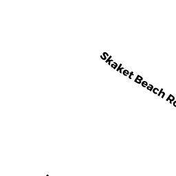
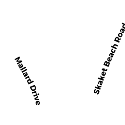
109 SKAKET BEACH RD
Owner Information
HOUSMAN KENNETH& HOUSMAN DAVID
442 MAIN ST
BOLTON, MA 01740


Property Details
109 SKAKET BEACH RD is classified as a Single Family Residential (Cape).
The primary structure on this property was built in 1915. There are 1,220ft2 of built area within this property. There is 1,220ft2 of residential/living space within this property. This property is listed as having 3 rooms.
109 SKAKET BEACH RD is valued at $532,400. The land is valued at $348,300 and the structures are valued at $184,100.
This property is in Zone R. Confirm with local Zoning Board authorities to ensure there are no overlays or other easements on this property.
The most recent deed for 109 SKAKET BEACH RD is recorded at the local registrar in Book 32332, Page 214. 109 SKAKET BEACH RD was last sold on Friday, September 27, 2019 for $0.
Assessment data from fiscal year 2022.
Flood Data
This property is partially within the AE Zone (within floodplain). Approximately 9.01 acres (88.8%) of the property is within this zone.
The base flood elevation for this flood zone is 13 feet.
This information is sourced from the FEMA National Flood Hazard Layer. See our full disclamer.
Broadband Internet Providers
| Provider | Type | Bandwidth (mbps) | |
|---|---|---|---|
| Verizon New England Inc. | DSL | 10 | 1 |
| Comcast | Cable | 1000 | 35 |
| T-Mobile | Fixed Wireless | 25 | 3 |
| GCI Communication Corp. | Satellite | 0 | 0 |
| HughesNet | Satellite | 25 | 3 |
| VSAT Systems, LLC. | Satellite | 2 | 1 |
| Viasat Inc | Satellite | 35 | 3 |
Broadband service provider data from December 2020.
Adjacent Properties
- 11 MINOTTS WY
Single Family Residential owned by BULLARD JOEL & JUDITH W TRS - 96 CAPT LINNELL RD
Single Family Residential owned by MISILO FREDERICK &MITCHELL JAN - 106 CAPT LINNELL RD
Single Family Residential owned by ANTUL STANLEY B - 110 CAPT LINNELL RD
Vacant, Selectmen or City Council (Municipal) owned by TOWN OF ORLEANS - 9 CAPT LINNELL RD
Single Family Residential owned by CASS J FOSTER TR ESTATE OF - 3 CAPT LINNELL RD
Single Family Residential owned by MONAC CLIFFORD A & SUSAN H - 5 CAPT LINNELL RD
Single Family Residential owned by STANCZAK BEATRICE M TRUSTEE - 107 SKAKET BEACH RD
Developable Residential Land owned by MORIARTY MERCY CULLUM ET ALI - 97 SKAKET BEACH RD
Single Family Residential owned by DAMES MARK W & LAURA J - 100 CAPT LINNELL RD
Single Family Residential owned by GRAHAM ROBERT E & ANNE TR